Our Services

Services

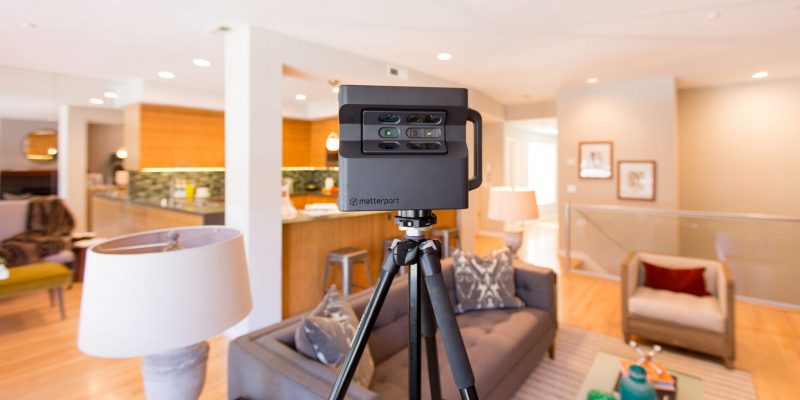
4K Virtual Tours

0098_matterport_pagebertelsen-1 (1)

We Capture 3D scans of your given space. Once captured, we can edit the space to have additional information. We can add virtual tags to include most files, videos and text. These tours can be hosted on MLS, Google Street View, Your own website and Social Media. We can also include 2D, 3D floor and ceiling plans or .OBJ files for architecture, remodeling and engineering services.
Photography

real-estate-photography

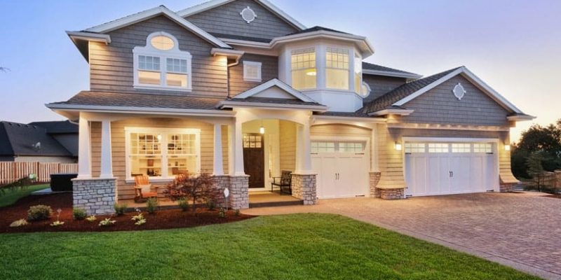
Stages the basic fundamentals of your spaces value. Capturing still images will open the consumers mind to new opportunities and ideas. Photos of your project will be compatible on every platform.

Drone 4k Photography & Video

shutterstock_681721870-1-1024x461

We also capture a tour of your business or home in motion. Our videos highlight personal features of the home or business. Connecting consumers to your product visually, captivating the value of your space with every given minute. Compatible with MLS portals, Websites and Social media sites.
Architects & Engineering Services

maxresdefault (2)

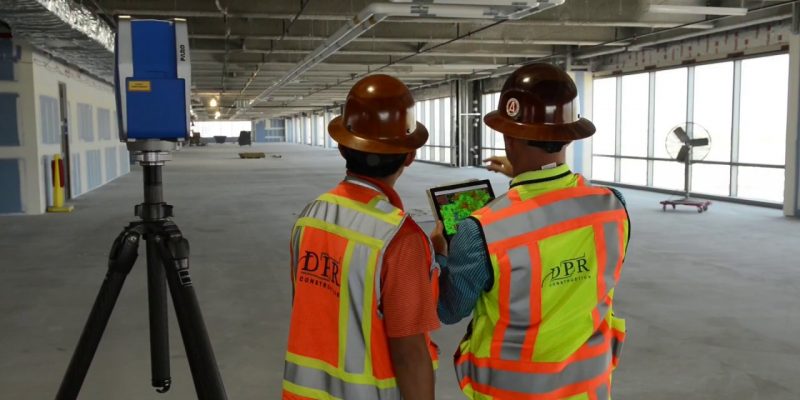
For Architects and Engineers, we can scan your job site and offer the following:
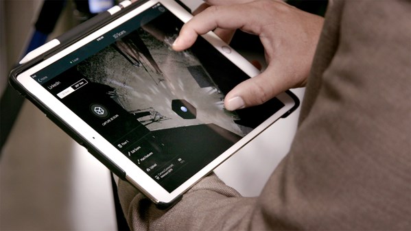
  • Create 3D walk-throughs and virtually take anyone immediately to a site or location.
  • Generate OBJ files and point clouds for as-builts and construction documentation.
  • Export your point cloud into ReCap® or Revit®
  • Perform remote inspections, measure while offsite, and reduce site visits by capturing all data the first time.
  • Communicate key milestones quickly and effectively by eliminating travel time and by sharing and annotating in the model to get sign offs.
  • Replace thousands of photos by capturing all imagery and data at once, and save time by eliminating the need to document, arrange, and label photos.
  • Get reflected ceiling plan images and schematic floor plans.
  • Eliminate registration markers or manual alignment.
  • Capture spaces that are accurate within 1%
  • Scan tight areas 10 — 15 times faster than with a typical LIDAR scanner.
  • Overlay your point cloud onto your BIM model to conduct verification.
  • Take measurements in difficult to access areas such as pipes, trusses, and ceiling beams.